
How it works

Start with the decision.
Then build the evidence.

The process begins with what you need to understand or decide. Technology follows the question, not the other way around.

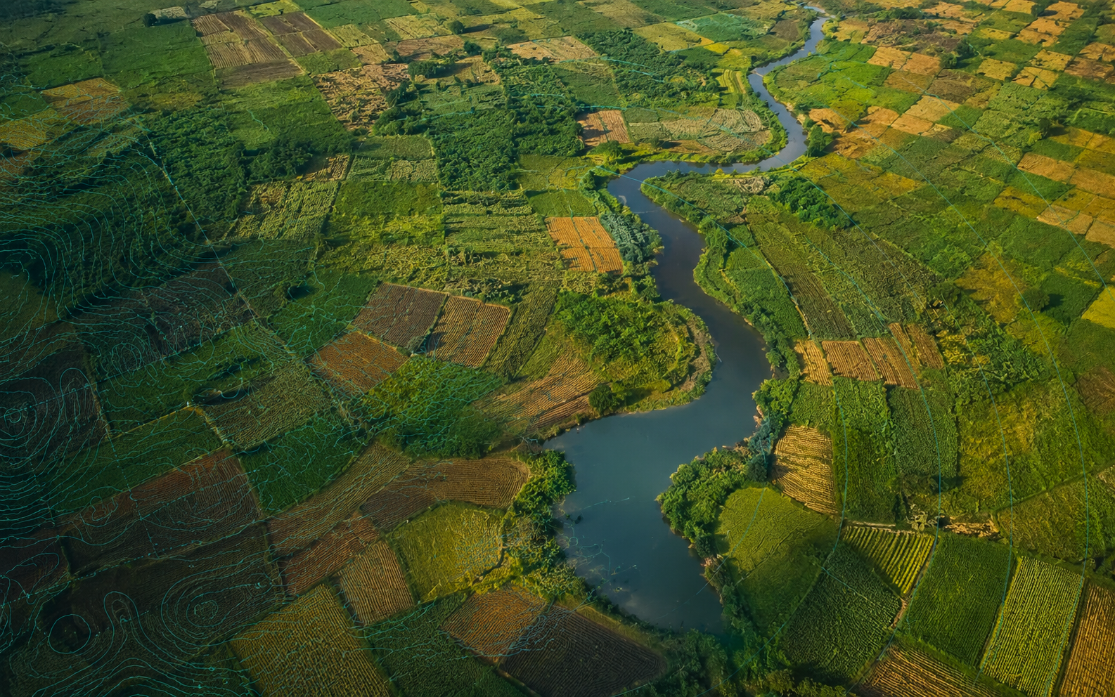
Aerial landscape with contour and geospatial overlays

Four clear stages

A focused process, without unnecessary complexity.

01
Frame the decision

Define the place and the question

We begin with the farm, landscape or project boundary. Then we clarify the change, condition, risk or reporting need the analysis must support.

  • Location or boundary
  • Purpose and intended user
  • Timing and reporting cycle
02
Design the method

Choose evidence that fits

We identify suitable satellite observations, spatial data, weather or forecast context and the information supplied by the client.

  • Relevant dates and resolution
  • Optical, radar or other sources
  • Local and field context
03
Observe and compare

Analyse change in context

We compare places, dates or scenarios and check whether the evidence is strong enough to support the intended interpretation.

  • Condition or change mapping
  • Area and proximity analysis
  • Uncertainty and data limits
04
Make it usable

Deliver a focused briefing

You receive clear maps and explanations showing what was observed, where it occurred, what may happen next and what may need closer review.

  • Decision-focused maps
  • Plain-language interpretation
  • Recommended field checks
Signal

Satellite observation

Interpretation matters

A signal can show change. It may not prove the cause.

Cloud, data resolution, timing, crop type and field conditions can affect interpretation. AfriScan states dates and limitations clearly and recommends field verification when the cause cannot be established remotely.

Transparent datesClear limitationsField checks when needed

Begin with the basics

Share the location, purpose and timing.

Discuss a project