Farm & boundary mapping
We turn farm locations and boundary information into dependable digital maps for planning, reporting, records and future monitoring.
- Digital field boundaries
- Area calculations
- Field and location maps
Services
AfriScan combines geospatial evidence, remote sensing, environmental data and suitable AI-assisted methods after understanding the area, the operational question and how the result will be used.
Six practical capabilities
We turn farm locations and boundary information into dependable digital maps for planning, reporting, records and future monitoring.
We combine repeated satellite observations with AI-assisted analysis to highlight patterns, changes and places that may require closer attention or a field check.
We organise recent rainfall, short-term forecasts and available water or soil-moisture information around the farm or project area.
We map land-cover change and visible disturbance to support planning, compliance, conservation and rehabilitation monitoring.
We use satellite, spatial and analytical models to map flood extent, mining-related disturbance, burned areas and scenario-based wildfire spread or exposure.
We design a method, dataset and output around a specific land, water, infrastructure or operational question, using machine learning where it is appropriate and defensible.
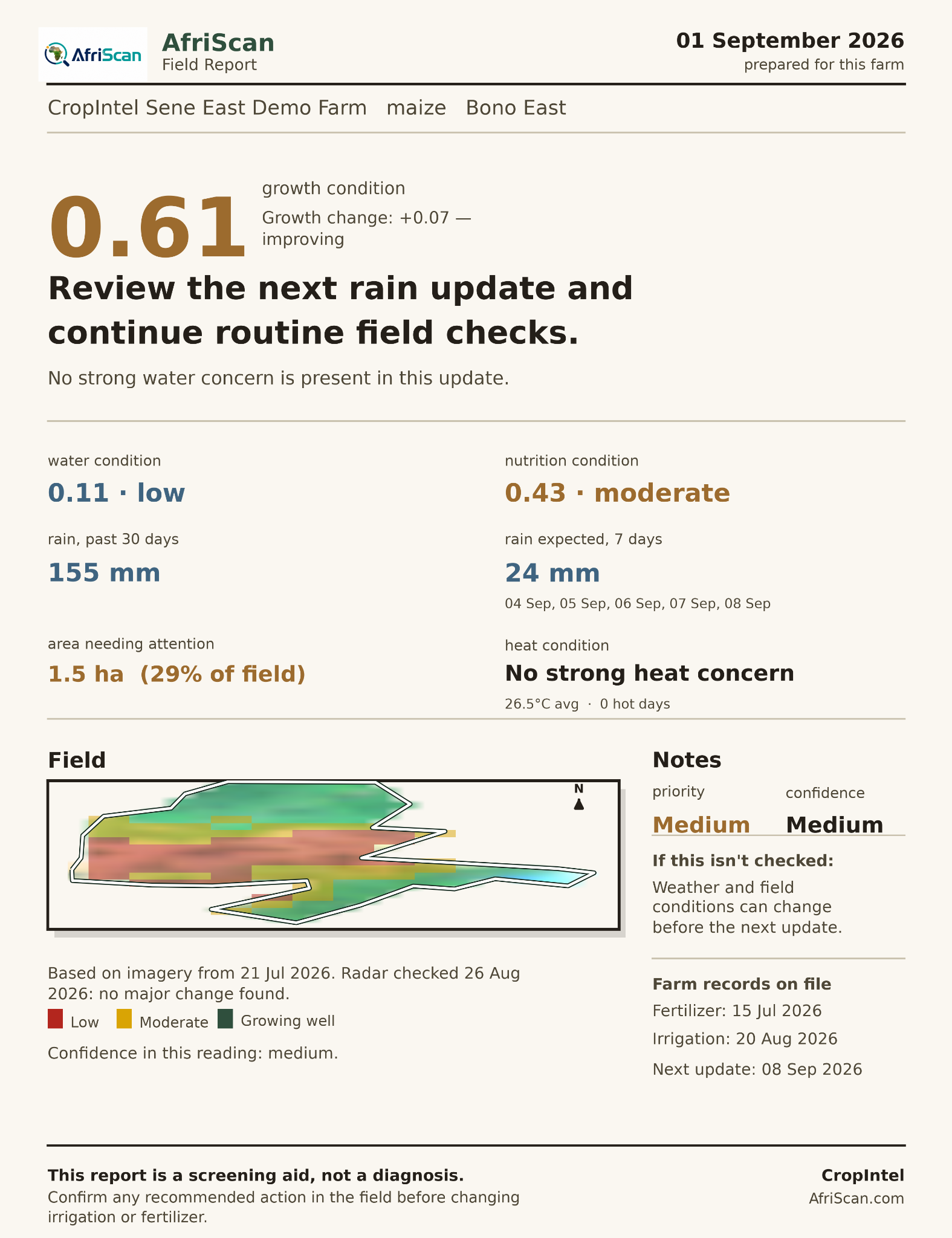
Agriculture platform
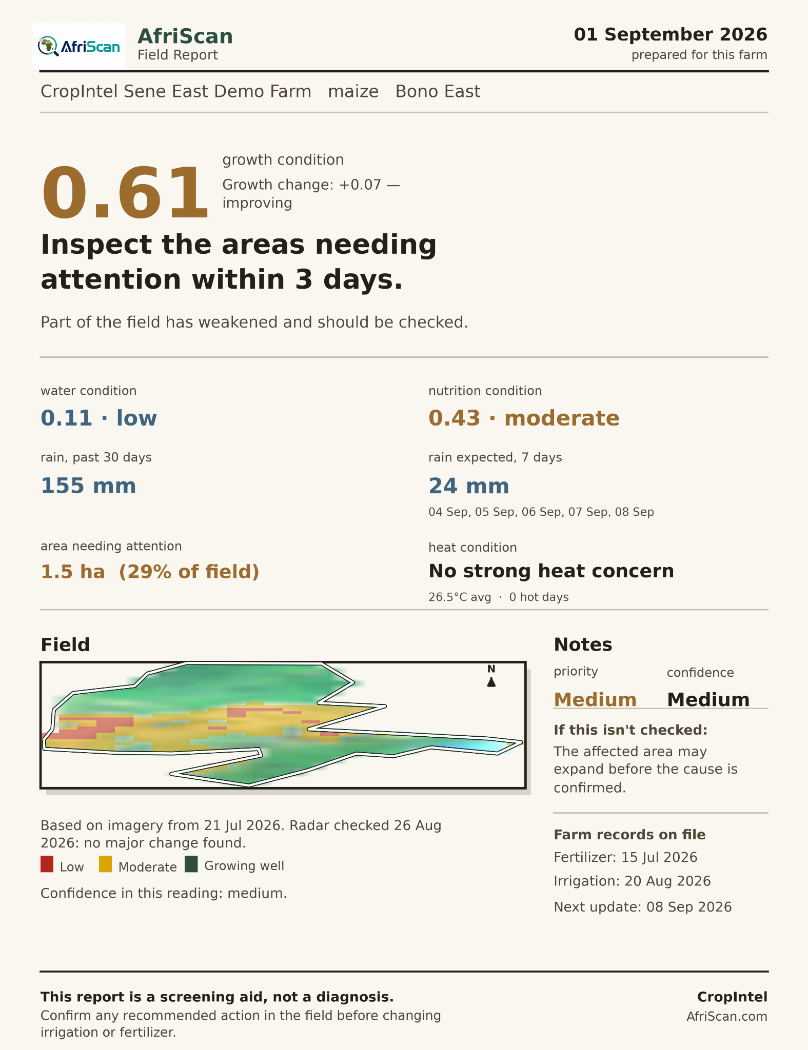
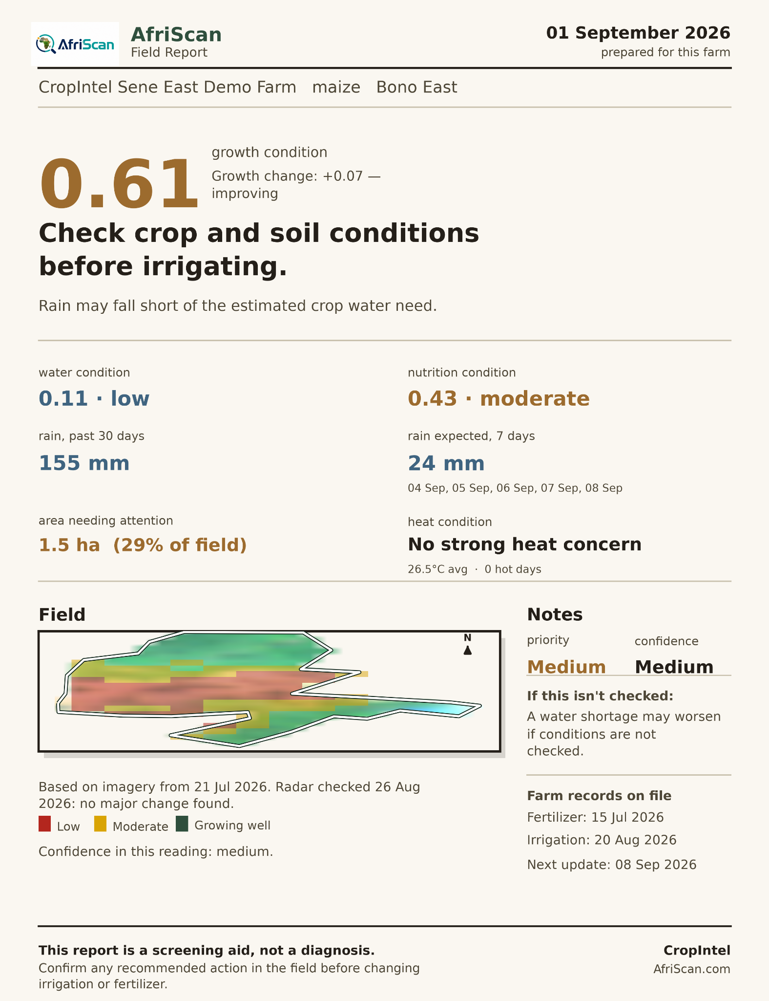
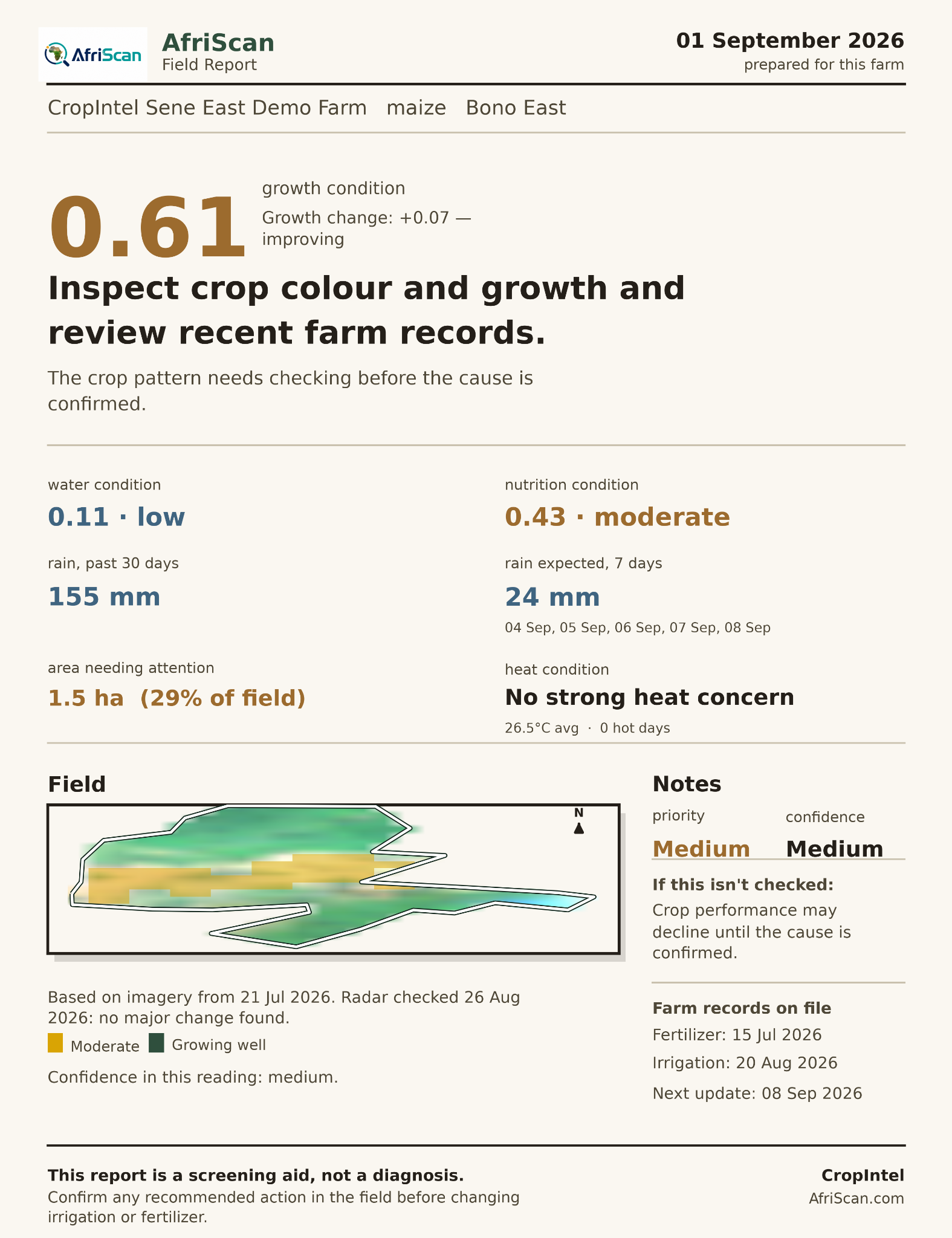
AI-powered crop intelligence from space. CropIntel combines field boundaries, satellite Earth observation, rainfall, forecasts, weather and environmental information with GIS, remote sensing and machine-learning methods to support agricultural monitoring and decision-making. Deep-learning models are being integrated into the platform as training and validation data become available.
CropIntel is a decision-support system. It distinguishes observations, forecasts and model-generated indicators, and it does not replace field diagnosis, farmers, agronomists, extension officers or professional judgement. Recommended changes to irrigation or fertiliser should be confirmed in the field.
Current early-access pilot
AfriScan is inviting cooperatives, farmer-based organisations and district agriculture offices in Ghana to help test CropIntel with 5–20 farms in total. Participants receive crop, water and nutrition monitoring reports at no cost and help provide basic boundary information and field access.
Field observations and user feedback from the pilot will help AfriScan evaluate, validate and improve CropIntel's AI-assisted analytics and developing deep-learning components under real farming conditions.
Apply for the free pilot →Machine learning + geospatial analysis
AI & Deep Learning
AfriScan uses artificial intelligence and machine learning to analyse patterns across satellite, weather and environmental datasets. Deep-learning models are being integrated into CropIntel to support more advanced spatial and temporal pattern recognition. Model outputs are presented as estimates or decision-support information, not as direct field measurements.
Built for scale
Useful for large farm programmes, schemes, surveys and monitoring areas where many boundaries need to be handled consistently.
Start a conversation